Bringing together housing, land and planning geospatial datasets
The Geospatial Commission has brought together a collection of sixty five housing, land and planning open datasets to make data easier to find for the sector.
Documents
Details
The Geospatial Commission was established in 2018 as an expert committee to set the UK’s geospatial strategy and promote the best use of geospatial data. As part of our housing and planning work we have been investigating the barriers to finding and accessing geospatial data and the role it could play in meeting the UK’s housing goals. This webpage supports the FAIR (Findable, Accessible, Interoperable and Reusable) framework. It brings together a range of useful and open datasets from the hundreds we have identified to make them more findable, in support of the FAIR framework.
The public sector has already released a large amount of data under the Open Government License (OGL) and users are free to use and re-use the information that is available under this licence freely and flexibly, with only a few conditions.
On the 1st July 2020 identifiers TOIDS, UPRNs, USRNs have been made available under the terms of the OGL as well as INSPIRE spatial polygon datasets. It is also the launch date of Ordnance Survey’s new portal for accessing its data, which includes a series of APIs (application programming interface) with up to £1,000 price per calendar month free use of premium data and unlimited use of Ordnance Survey OpenData. Links to these datasets can be found in the list below.
The amount and variety of data used within housing, land and planning in the UK is incredible, covering areas such as:
- Environmental data
- Local Authority planning policy data
- Data from our partner bodies the Geo6 (The British Geological Survey, The Coal Authority, HM Land Registry,Ordnance Survey, UK Hydrographic Office, The Valuation Office Agency)
- Historic data
- Statistics including the ONS UK housing and planning statistics landscape Interactive Tool. This is a tool to browse all housing and planning statistics produced by UK public bodies and the devolved administrations of Wales, Scotland, and Northern Ireland and includes data such as housing demand, stock and supply.
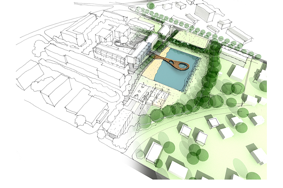
Illustration of an idea and implementation of urban design
Image Credit: psynovec/Shutterstock.com
The Geospatial Commission has identified over 350 datasets and portals that are used during the housing and planning process. They come from a variety of sources, with a variety of licences, and not all of them are open. We have brought them together for the first time in support of our wider Housing and Planning Programme, and we have published a list of 65, most of which are covered by OGL. Some of the datasets do contain 3rd party data which is not covered by an open licence.
If you have suggestions of datasets we should include as we expand this list in the coming weeks, please email us geospatialcommission@cabinetoffice.gov.uk.
The 65 Datasets have been organised into the following categories: Data Catalogues, Identifiers,Building, Environmental, Land, Planning and Statistics.
Data Catalogues
Identifiers
Building
- ePIMS central government building
- INSPIRE Index Polygons spatial data
- Listed Buildings
- Price paid data
- Transaction data
- UK house price index
- Built-up Areas (December 2011) Boundaries V2
- GeoClimate Open
Environmental
- Ancient woodland
- Country parks
- EA rainfall data
- Environmentally sensitive areas
- Flood map for planning (rivers and sea) - flood zone 2
- Flood map for planning (rivers and sea) - flood zone 3
- Flood map for planning (rivers and sea) - areas benefiting from defences
- Flood map for planning (rivers and sea) - flood storage areas
- Nature improvement areas
- National parks
- National nature reserves
- RAMSAR
- Risk of flooding from rivers and sea - postcodes in areas at risk
- Risk of flooding from rivers and sea - properties in areas at risk
- Risk of flooding from surface water extent
- Special areas of conservation
- Weather forecasting data - Met Office data point
- Important Bird Areas
- National Forest Inventory Woodland England 2018
Land
- Brownfield land
- CASI and LIDAR Habitat Map
- LIDAR composite DSM - 2m
- LIDAR composite DTM - 1m
- LIDAR composite DTM - 25cm
- Mining and Ground Stability
- OS open greenspace
- OS open rivers
- OS open zoomstack
- Radon data: indicative atlas of radon
- Vertical aerial photography
- Provisional Agricultural land classification
- BGS Geology 625k
Planning
- Boundary-line
- Code-point open
- Energy Performance Certificates
- National coach services
- National Grid Data (Cables/ Towers/ Substation Sites / Overhead Lines)
- National public transport access nodes
- Scheduled ancient monuments
- Traveline national dataset
- World heritage sites
- OS Open Roads
- Homes England Land Hub Sites
- Sites of Special Scientific Interest (SSSI) Impact Risk Zones
Statistics
- Demographic data
- Indicies of deprivation
- Social Housing Stock by Local Authority and Private Registered Provider
- National Statistics Postcode Lookup (February 2020)
- Live tables on dwelling stock (including vacants)
- Population projections data files, UK
- Towns and cities analysis
- UK house building: permanent dwellings started and completed
- Help to Buy (equity loan scheme) statistics